
Discover a Fresh Trail in the Jerusalem Hills
Catch a glimpse of history with KKL's newly revealed path in the Jerusalem Hills, uncovering the remains of an ancient Roman road and an intriguing story.
") (Photo credit: Adi Tena, KKL Photo Archive)
(Photo credit: Adi Tena, KKL Photo Archive)Tu B'Shvat season is here, offering a fresh chance to explore new places in Israel. Recently, KKL announced the opening of a new section of the 'Emperor's Trail' in the Jerusalem Hills, developed alongside the Trail Marking Team of the Society for the Protection of Nature in Israel. The previous route, linking Horbat Hanot to the Beit Bad parking area, was closed due to its crossing of the increasingly dangerous Highway 375.
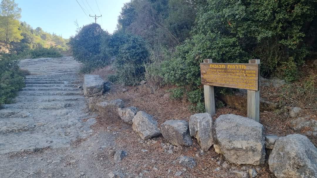
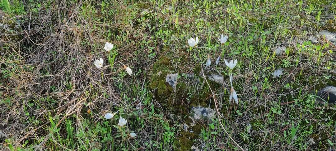
To provide hikers with an alternative to the now-closed popular path, KKL and the Israel Trails Committee planned and marked a new trail on the southern side of the highway, along the Yaaran Mountain ridge, avoiding any road crossings. This path leads through forested landscapes, vibrant with hues of green and seasonal blooms, and unveils remnants of an ancient Roman road featuring historic stone steps. The new trail gives hikers several options:
New Black Trail, about 2 km long, descends from the 'Forester's House' area (remnants of a high-elevation structure from the British period used by local forestry workers) to the Beit Bad parking area. It winds through a planted pine forest, interspersed with natural groves, over natural rocky surfaces. Hikers will enjoy spectacular views of Beit Shemesh to the west and the ridges of the Judean Hills to the north. The trailhead for the black trail is along a paved green-marked route, starting from Highway 375, opposite the Horbat Hanot entrance, heading south to Mount Yaaran.
 (Photo credit: Adi Tena, KKL Photo Archive)
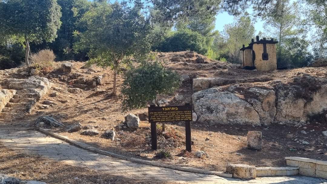
Red Trail remains part of the veteran path, leading from the Beit Bad parking area (next to the remains of an ancient olive press with a wooden screw mechanism restored by KKL) to the ancient steps and back the same way, roughly 750 meters each direction. The parking area serves as a starting and finishing point. The final segment to the steps now sports a blue mark.
Additionally, a new connection between the red and black trails creates a circular route—begin at Beit Bad, reach the ancient steps, and return via the ridge along the black trail or vice versa. It's recommended to start with the red trail and return on the black trail, allowing a downward walk with views ahead. The circular route is about 2 km long and is suited for seasoned hikers.
 (Photo credit: Adi Tena, KKL Photo Archive)
Curious why the trail is called the 'Emperor's Trail'? Itzik Ben Dov, trail marking coordinator from the Society for the Protection of Nature in Israel and the Israel Trails Committee, explains that the Emperor's Trail runs alongside the Roman road leading from Beit Guvrin to Jerusalem. 'An ancient milestone nearby bore Emperor Hadrian's name, giving the trail its name. It’s possible the emperor himself traveled this path to Jerusalem in 130 AD', he shares.
Gidi Bashan, manager of the Judean Hills area for KKL, adds: “The old Emperor's Trail was one of the most popular KKL hiking paths, so we're delighted to have found a new route that maintains safety while preserving its beauty and uniqueness.”
 (Photo credit: Adi Tena, KKL Photo Archive)