לצפייה בתמונה
לחץ כאן
לצפייה בתמונה
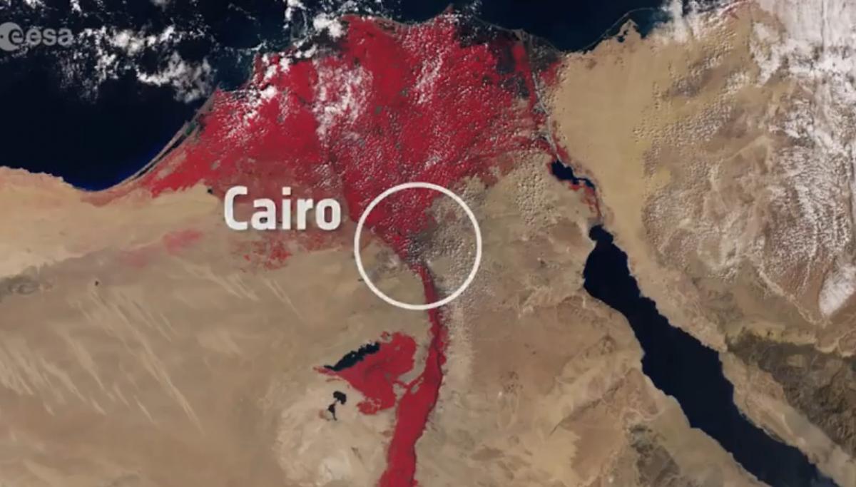
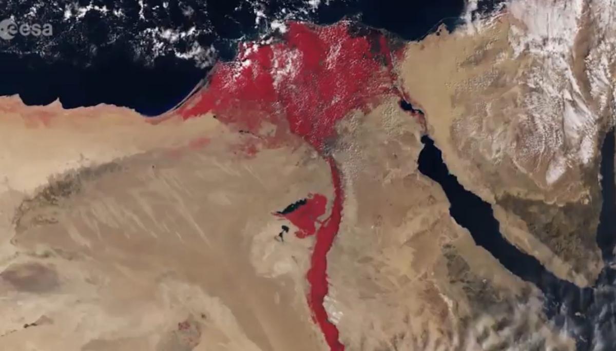
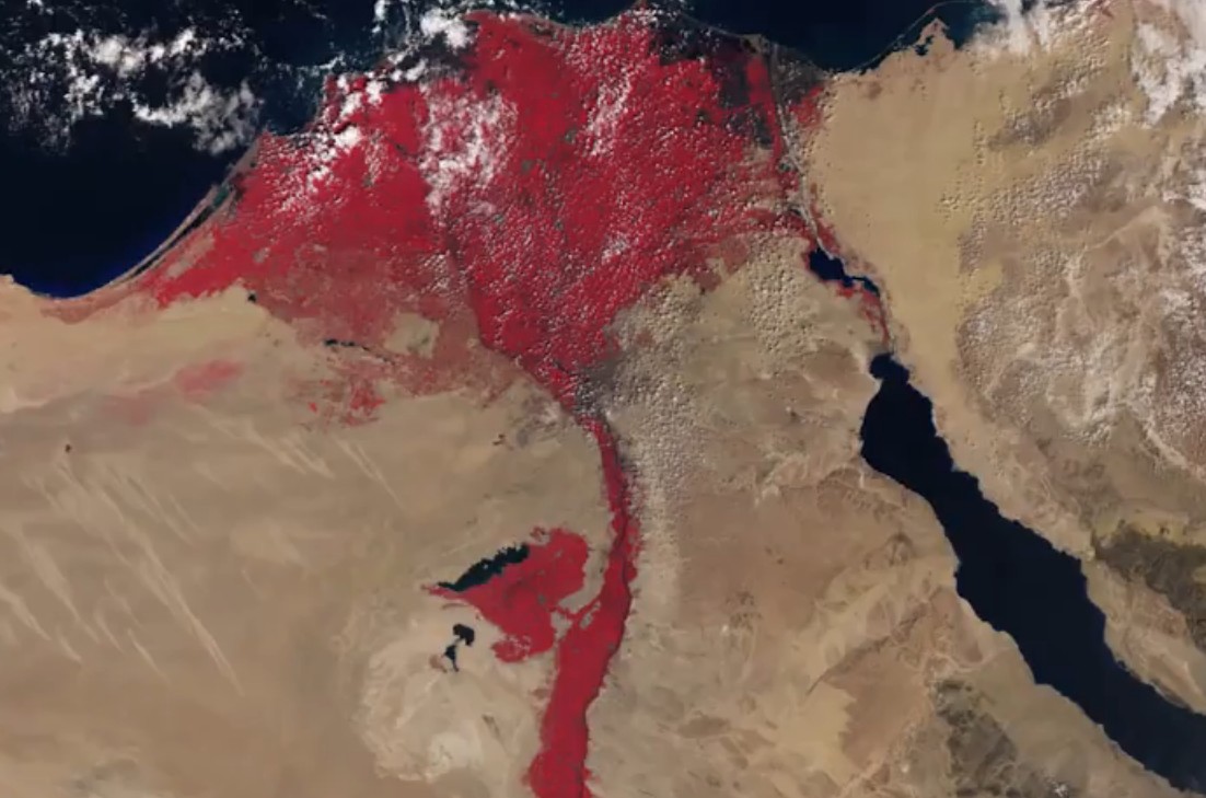
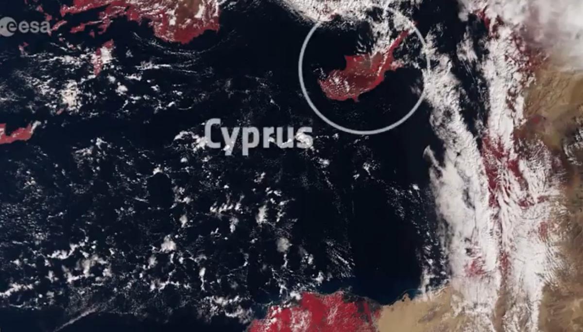
A new satellite named Sentinel-3A from the European Space Agency captured some rather fascinating images of Egypt. This is part of a new research project intended to study the type of radiation emitted by different land types in the region and manage real-time events like natural fires, as well as map Egypt's populated areas.
Researchers utilized infrared in their investigations. Although at first glance it might appear that the plague of blood has 'resurrected', striking Egypt once more, this is actually dense vegetation and agricultural fields that show red in satellite images.
.Use quotes in order to search for an exact term. For example: "Family Purity", "Rabbi Zamir Cohen" and so on